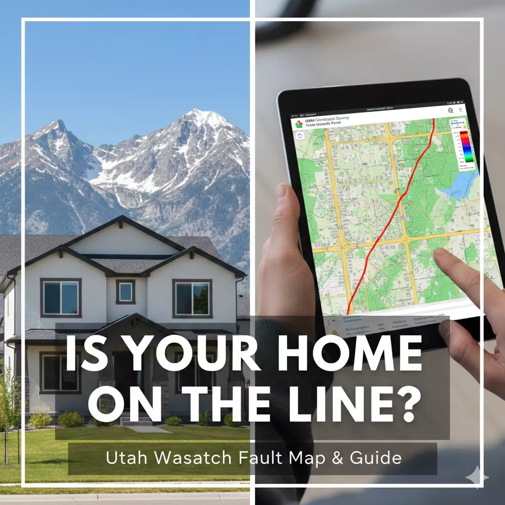
The Big One: What to Do if Your Dream Home is on the Wasatch Fault
For many Utahns, the "Big One" feels less like a geological certainty and more like a local ghost story—something we talk about often but rarely expect to see. But for home buyers along the Wasatch Front, the threat is written directly into the soil.
If you’ve been doing your due diligence and used the Utah Geological Survey (UGS) Hazards Viewer only to discover that your "dream home" sits directly within a Surface Fault Rupture Zone, your heart might have dropped. But before you cancel your contract or spiral into a panic, it’s important to understand exactly what this means, what the risks are, and how to make an informed decision for your family’s future.
What is a Surface Fault Rupture Zone?
First, let’s clear up a common misconception. Most people think of earthquake risk in terms of shaking. While shaking is what causes the most widespread damage, a Surface Fault Rupture Zone is different. This is the narrow corridor where the ground is expected to physically tear apart, displace, or crack during a major earthquake.
If a house is built directly on the fault line, the movement isn't just side-to-side; one side of the fault can drop several feet relative to the other. In a major event (a magnitude 7.0 or higher), this vertical or horizontal displacement can literally split a foundation in two. Unlike shaking, which modern engineering can often mitigate, there is very little a standard residential structure can do to survive the ground beneath it moving three feet in opposite directions.
Step 1: Don't Panic, But Do Investigate
Finding out a home is in this zone doesn't automatically mean the house is a "teardown." However, it does mean the property requires a much higher level of scrutiny than a typical suburban home.
Utah has some of the most robust geological data in the country. If the home was built after the late 1990s or early 2000s, there is a high probability that a geological study was required before the subdivision was approved. Your first step should be to ask the seller for any geotechnical or fault-trenching reports performed prior to construction. These reports determine exactly where the "traces" of the fault are and whether the home was built with a safe "setback"—a mandated distance from the active crack.
Step 2: Bring in the Specialists
A standard home inspector is trained to look at the roof, the HVAC, and the plumbing. They are generally not qualified to assess seismic risk. If you are serious about a home in a rupture zone, you need a Geotechnical Engineer.
These specialists look at the specific soil composition and the proximity to known fault traces. They can tell you if the home’s foundation was "over-engineered" (using reinforced steel or thicker concrete) to handle seismic stress. While no house is earthquake-proof, some are significantly more earthquake-resilient than others.
Step 3: Understanding the "Hidden" Costs
Living on the fault line isn't just a physical risk; it’s a financial one. There are three major areas where this discovery will impact your wallet:
-
Insurance: Standard homeowners insurance policies do not cover earthquakes. To protect your investment, you will need a separate earthquake policy. If the home is located directly in a rupture zone, your premiums will likely be higher, and your deductible could be as much as 10% to 20% of the home's value.
-
Renovations: If you plan on adding a master suite or a large garage in the future, be prepared for a headache. Local municipalities (like Salt Lake County or Draper) have strict ordinances. You may be required to pay for expensive "trenching" studies to prove your new addition isn't on a fault trace before you can even get a permit.
-
Resale Value: You are doing your research now, and future buyers will do theirs later. A home on the fault line may take longer to sell or may not appreciate as quickly as a home located just a mile or two away in a "safer" zone.
The Reality Check: Risk vs. Reward
Utah is a beautiful place to live, and the Wasatch Mountains—the very things that make our landscape so iconic—were created by the fault itself. Living here involves an inherent acceptance of seismic risk.
If the home is older (pre-1970s) and sits directly on the line, the risk is at its highest because it likely lacks seismic retrofitting. If the home is newer and followed strict modern setbacks, the risk is managed, though never zero.
Ultimately, buying a home on the Wasatch Fault is about your personal risk tolerance. For some, the view and the neighborhood are worth the extra insurance premiums and the peace of mind of a retrofitted foundation. For others, the "Big One" is a variable they’d rather not have in their backyard.
The official website to check for fault lines, liquefaction, and other geologic risks in Utah is hosted by the Utah Geological Survey (UGS).
The Utah Geologic Hazards Portal
Main URL: https://geology.utah.gov/apps/hazards/
Alternative Resources
If you are looking for general earthquake education or more broad-scale mapping, these official "sister" sites are also helpful:
-
Earthquakes.Utah.gov: https://earthquakes.utah.gov/
(A "one-stop shop" for preparedness, recent earthquake data, and geological history.)
-
Utah Geologic Map Portal: https://geomap.geology.utah.gov/
(Best for viewing detailed rock types and the general age of the soil/ground beneath a specific area.)
Quick Search Tip
When you arrive at the Hazards Portal, look for the magnifying glass icon on the top left or right of the map interface. Entering a full street address (e.g., 123 Main St, Salt Lake City, UT) will automatically zoom the map to that parcel and highlight any overlapping hazard zones.
When you look at the Utah Geologic Hazards Portal, the map can look like a complicated "spaghetti" of lines and colors. Understanding the legend is the best way to determine if a specific home is at high risk or just near a geological curiosity.
1. How to Read the Fault Lines
The portal uses different line styles to represent how "certain" geologists are about the fault's exact location.
-
Solid Lines: These are "Known" or well-defined faults. Geologists have clear evidence of where the fault reaches the surface. If a solid line crosses a property, the risk of surface rupture is at its highest.
-
Dashed Lines: These are "Inferred" faults. Scientists are reasonably sure a fault exists there based on the surrounding landscape, but it is covered by soil or vegetation, so the exact "crack" isn't visible.
-
Dotted Lines: These are "Concealed" faults. These are deeply buried under sediment (like the bottom of a valley). While they still cause shaking, they are less likely to tear the surface during an earthquake.
2. Understanding the "Study Zones"
You may see a transparent colored buffer (usually a light yellow or orange) surrounding the fault lines.
-
This is the Surface Fault Rupture Special Study Zone.
-
If a home falls inside this shaded area, local laws (in counties like Salt Lake or Utah County) usually require a geological "trenching" study before any new building can happen.
3. The Liquefaction "Heat Map"
Even if there are no lines on your property, check the Liquefaction Susceptibility layer. This is usually color-coded like a traffic light:
| Color | Susceptibility | What it means |
| Red | High | The soil is very sandy and saturated. During an earthquake, it could act like a liquid, causing foundations to sink or tilt. |
| Yellow | Moderate | There is a 10–50% chance the soil will liquefy during a major quake. |
| Green/Clear | Low / Very Low | The ground is likely solid rock or very dense clay; the foundation is much more stable. |
Your Next Steps
Before you sign those closing papers, make sure you've seen the maps and talked to the experts. Knowledge is the only thing that can turn a scary "what if" into a manageable plan.
Recent Posts